


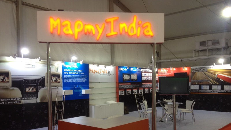
The Indian Space Research Organization and the location and navigation technology solutions provider MapmyIndia announced an initiative to partner to deliver the best cartographic and fully indigenous geospatial and portal services in India.
It combines the power of MapmyIndia’s maps and digital technologies with ISRO’s catalog of satellite imagery and Earth observation data, according to MapmyIndia CEO and CEO Rohan Verma.
He called it a groundbreaking milestone in India’s journey to Aatmanirbhar Bharat, in which Indian users would not rely on foreign organizations for maps, navigation and geospatial services, and would take advantage of solutions made in India.
“You don’t need Google Maps / Earth anymore,” Verma said in the headline of a LinkedIn post.
According to ISRO, the Department of Space (DoS), under which ISRO belongs, has teamed up with MapmyIndia to combine its geospatial expertise and build holistic solutions leveraging its geoportals.
DoS entered into a memorandum of understanding with geospatial technology company CE Info Systems, which owns MapmyIndia, on Thursday.
According to the association, the combined geospatial expertise of DoS and CE information systems would be leveraged through their respective geoportals, according to Bengaluru-based ISRO.
The collaboration will allow them to jointly identify and build holistic geospatial solutions using the Earth observation data sets, NavIC, web services and API (application programming interface) available on the MapmyIndia, Bhuvan, VEDAS and MOSDAC geoportals, the agency said. space in a statement. .
India’s Regional Navigation Satellite System (IRNSS) called NavIC (Navigation with Indian Constellation, is India’s own navigation system, developed by ISRO. Bhuvan is ISRO’s developed and hosted national geoportal comprising geospatial data, analysis tools and services.
VEDAS (Visualization of Earth Observation Data and Archival System) is an online geoprocessing platform that uses optical, microwave, thermal and hyperspectral OE data covering applications especially intended for academia, research and problem solving, according to ISRO .
MOSDAC (Oceanographic and Meteorological Satellite Data Archiving Center) is a data repository for all ISRO meteorological missions and deals with information related to climate, oceanography and tropical water cycles.
Verma said there are many reasons why Indians are better off with an indigenous solution for maps and geospatial services.
“MapmyIndia, being a responsible and local Indian company, makes sure its maps reflect the true sovereignty of the country, describing the borders of India according to the Government of India, and hosts its maps in India,” he said.
Through the combined partnership with ISRO, MapmyIndias end-user maps, applications and services will now be integrated with ISRO’s huge catalog of satellite imagery and Earth observation data, according to a statement from MapmyIndia.
It would be a much better, more detailed and comprehensive mapping solution, as well as privacy-focused, hyper-local and indigenous for Indians, compared to foreign map applications and solutions, he said.
Verma said that foreign map solutions have many hidden costs.
“For example, foreign companies and search engines claim to offer free maps, but they actually make money by targeting the same users with advertising based on invasion of user privacy and auctioning off their private location and movement data. users, “he said.
“This should be very alarming for all citizens.”
“On the other hand, MapmyIndia has an ethical point of view against the advertising-driven business models of such companies and therefore does not have an advertising business model. By using MapmyIndia maps and applications instead of the applications of foreign maps, users can better protect their privacy, “he said.
The “clean, straightforward and sustainable business model” ensures that MapmyIndias maps and applications can be kept free of cost and ad-free for users, according to him.
“MapmyIndias maps cover all 7.5 million rupee villages, more than 7,500 cities at street and building level, connected by the 63 million kilometers of road network across India and within cities, and in total they provide maps of an unmatched 3+ million places across India, “the company statement said.
Can Realme X7 Pro take on OnePlus Nord? We talked about this on Orbital, our weekly tech podcast, which you can subscribe to via Apple podcasts, Google podcasts, or RSS, download episode, or just press the play button below.
.

She is a freelance blogger, writer, and speaker, and writes for various entertainment magazines.